Payments and Security
Your payment information is processed securely. We do not store credit card details nor have access to your credit card information.
Description
- 1x Slamtec Aurora Positioning & Mapping Sensor

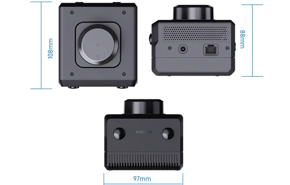
- 108 x 97 x 88 mm (L x W x H)
Website
- Maximum Mapping Area: >1,000,000 m2
- Relocation: Supports global relocation
- Map Continuation: Supported
- Map Loading and Saving: Supported
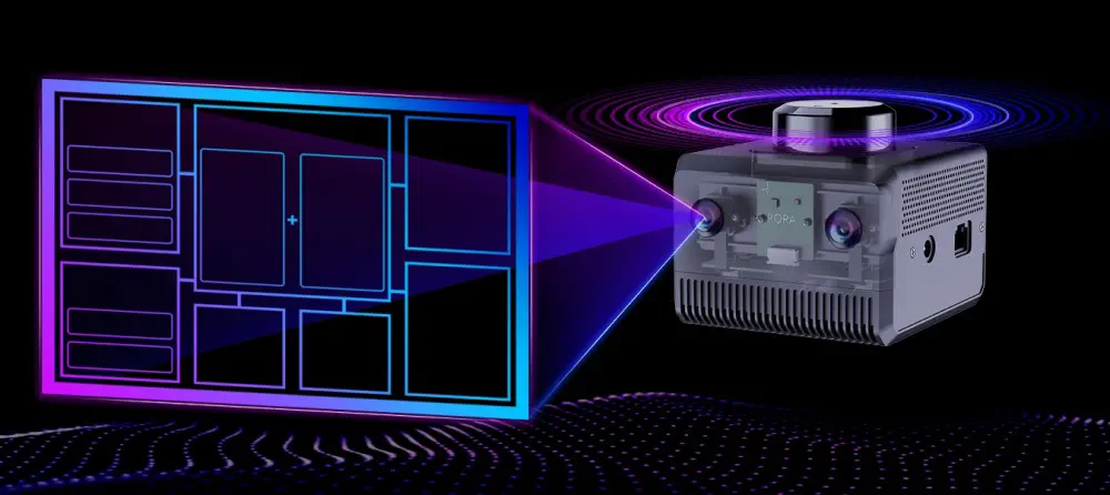
- Mapping and Positioning Mode: Multi-source fusion of LiDAR, vision, and IMU
- Multi-Sensor Synchronization: Hardware time synchronization
- LiDAR Measurement Distance: 40m, Maximum range of 40m
- Camera Specifications: Binocular fisheye global camera, supports HDR, FOV 180°, 6cm baseline
- Camera Frame Rate: Typical 10Hz, customizable to 15/30Hz
- Maximum Tilt Angle: No requirement (for optimal 2D mapping, a tilt angle of less than 30° is recommended)
- Weight: 505 g


